Pantex Plant: an unidentified object over the U.S. nuclear weapons assembly site
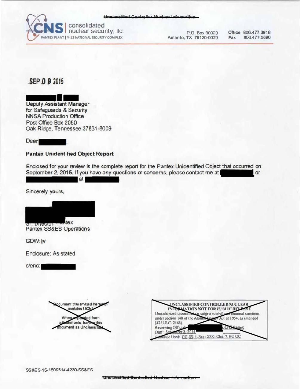
Pantex is run for the NNSA by Consolidated Nuclear Security, LLC, and is the main U.S. nuclear-weapons assembly and disassembly plant. On the morning of 1 September 2015, its ground surveillance radar picked up a small object moving north at 10-15 mph west of the plant facilities. The Protective Force locked the security gates. A lieutenant and a security police officer followed it by vehicle and watched it through binoculars. Another crew tracked it for 3-5 minutes on a CROWS weapon-station camera. It was described as silent, with no visible propulsion, about 4 ft tall and 2 ft wide, "diamond" shaped and rounder at the top. It left the site to the north and the officers lost it near County Road G and FM 1342. Radar-tower video went to Sandia National Laboratories for enhancement, and all the evidence was turned over to the FBI. The plant's own incident report, released by DOE, is the primary record. It does not identify the object.
Evidence, in date order (4)
- 2015Sandia National Laboratoriessensor dataEnhanced images of the object from the radar-tower video DOE-UAP-D001, Enhanced PANTEX Imagery (source: war.gov PURSUE; read via mirror)
- 1 Sept 2015Pantex Ground Surveillance Radarsensor dataDetected the object and several further radar hits DOE-UAP-D005, Pantex Unidentified Object Incident Report (source: war.gov PURSUE; read via mirror)
- 1 Sept 2015CROWS crew (security police officers)witnessTracked the object 3-5 minutes on the weapon-station camera at 100-200 ft DOE-UAP-D005, Pantex Unidentified Object Incident Report (source: war.gov PURSUE; read via mirror)
- 1 Sept 2015Other Protective Force observerswitnessDescribed it as about 4 ft tall and 2 ft wide DOE-UAP-D005, Pantex Unidentified Object Incident Report (source: war.gov PURSUE; read via mirror)
How plausible · High
Radar, a weapon-station camera and several security officers tracked an object over a nuclear weapons plant; DOE released the report and images.
- ●●Access Direct observation or instruments.
- ●●No gain sought Nothing to gain.
- ●●Character record Trained professionals.
- ●●Independent convergence Independent sources agree.
- ●●Checkable details check out Released official records.
- ●●Fits the documented skeleton Fits the documented record.
Plausibility weighs how well an account fits where secrecy hides the documents by design, so missing records never count against it. Strength measures what is documented. Assessed 2026-10-23.
On the record
- "On September 1, 2015 at approximately 0710 hours, the Pantex Ground Surveillance Radar (GSR) detection system identified an unknown object flying in a non-threatening manner west of Pantex facilities in a northerly trajectory. The Protective Force (PF) responded in accordance with the NPO approved Security Incident Response to Unmanned Aerial Systems (UAS) plan."
- It was first seen "just north of Highway 60 ... traveling in a northerly trajectory approximately 10-15mph". At about 07:08, the object was "approximately 1.75 miles SW of Z-12 South", with "several other radar hits" as it moved NNW.
- "All plant pedestrian and vehicle gates leading into and out of security areas were immediately secured."
- The PF lieutenant and security police officer (firsthand, debriefed; names not given) tried to get directly under it over Pantex Drive, then stopped and got out: "they noted that the object did not make any sound ... they were unable to identify any type of propulsion system on the object while using binoculars". They watched it for 1-2 minutes, then followed it "several miles north of Pantex" until they lost it "near County Road G and F.M. 1342". "It was noted that the object seemed to increase in speed and changed direction as it was being followed." Its last known heading was ENE. They described "a 'diamond' type shape with it being more round at the top".
- Carson County Sheriff's Office was asked to help. The deputy "did not see the object but would perform a search".
- CROWS crew: SPOs in a Bearcat tracked the object on the CROWS camera; it was "100-200 ft. above the ground", tracked for "3-5 minutes", at about 75-100 m distance.
Claims
Where
war.gov files on this case (2)
 Enhanced PANTEX ImageryPDFDOE · Release 02
 Pantex Unidentified Object Incident Report, 2015PDFDOE · Release 04 · 2015-09-01
In The picture
Similar cases · sharing people, threads, topics or era
Connected cases
People and organizations
Threads · click one to see it on the board
Sources
- DOE-UAP-D005, Pantex Unidentified Object Incident Report (source: war.gov PURSUE; read via mirror)
- DOE-UAP-D001, Enhanced PANTEX Imagery (source: war.gov PURSUE; read via mirror)
- The Black Vault copy of DOE-UAP-D005
- The Black Vault, "U.S. Government Confirms Multiple Drone Incursions Over Pantex Nuclear Facility" (2022-2023 events; not read)