Document · map · 1989
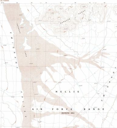
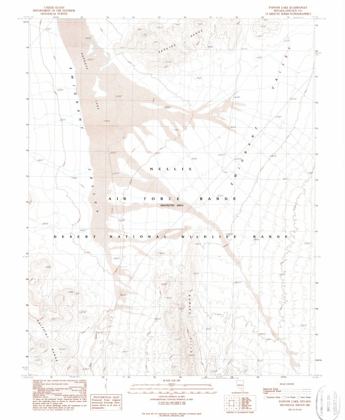
USGS Papoose Lake map, 1989 provisional edition
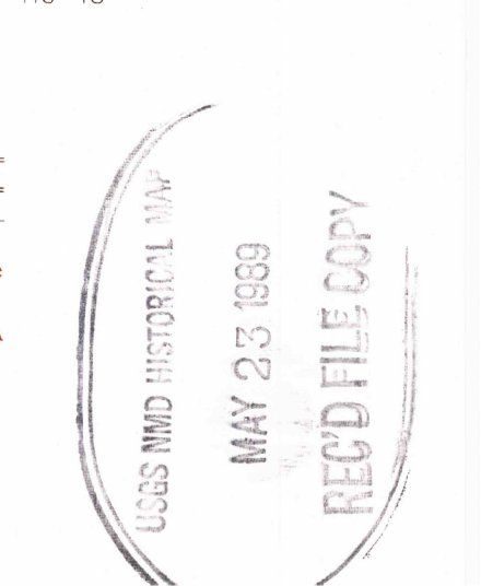
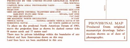
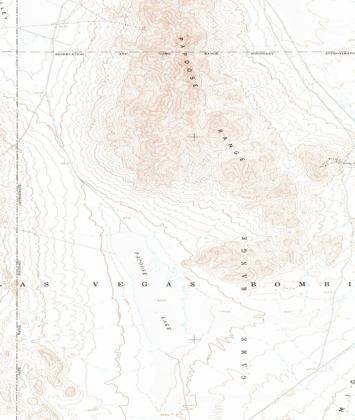
The U.S. Geological Survey's Papoose Lake, Nevada, 7.5-minute quadrangle, provisional edition 1989, covering the lake south of Groom Lake where Bob Lazar placed S-4. Luigi Vendittelli says it was modified on 23 May 1989, eight days after Lazar's first interview, to remove a road toward S-4. That date is the archive's 'received file copy' stamp, and the map itself was compiled from 1968 aerial photographs, so it was finished before Lazar went public. Whether a road east of the lake was left off compared with the 1952 map is still open.
On the record
- Collar: 'Compiled from aerial photographs taken 1968, Map edited 1989'; 'Provisional map... information shown as of date of photography'.
- The 23 May 1989 date is a round rubber stamp, 'USGS NMD Historical Map, MAY 23 1989, REC'D FILE COPY': a receipt date, not an edit date.
Open questions
- Was a road east of the lake dropped? The 1952 map shows tracks on both sides; an overlay with the 1989 sheet (which covers only the southern part of the old one) has not been done.
Cases (1)
Connected
Sources
- USGS Papoose Lake NV 7.5' quadrangle, Provisional Edition 1989 (PDF)
- USGS Papoose Lake NV 15' quadrangle, 1952 (PDF)
- Jesse Michels, "I Spent 48 Hours With Bob Lazar (And I'm In SHOCK...)" (YouTube, Apr 2026)